Main menu
Conservation of priority forests and forest openings in "Ethnikos Drymos Oitis" and "Oros Kallidromo" of Sterea Ellada, LIFE11 NAT/GR/1014
Actions
Action A.6: Study of forest expansion and of use by livestock in the areas of temporary ponds (3170*) and mountain grasslands (6210*, 6230*)

The purpose of this action is to determine the current situation of the forest openings in which the temporary ponds (3170*) and mountain grasslands (6210*, 6230*) develop on Mt. Oiti and Mt. Kallidromo. It includes study of the process of forest expansion, of current use by livestock and of the grazing capacity of the temporary ponds and mountain grasslands.
Vegetation cover will be measured along the transects established by actions A.3 and A.5 with the point method, by moving a metallic pin along the line and taking measurements (hits) every 20-50 cm. At least 100 points will be taken in each habitat. In addition, forage production will be measured with the harvest method. Specifically, metallic quadrats 50x50 cm will be randomly placed along the transects and the aboveground biomass inside them will be cut with hand scissors at 5 cm above the ground. The material will be placed in paper bags and transferred to the Laboratory for dry weight determination. Based on the existing variability, 10-20 quadrats will be collected from each habitat. Cover and biomass data, together with the species composition will be used to evaluate the range condition of grasslands and temporary wetlands, namely their current productivity for livestock in relation to their potential. Herbage production data, in particular, will be used to determine the grazing capacity of grasslands.
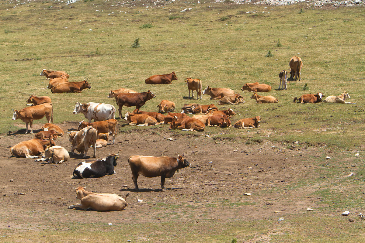
The current use of the area by livestock will be determined by recording the animals that graze in the two habitats. This will be done by interviewing the farmers who bring their animals in the area and recording the number and kind of animals, the grazing, season and grazing system. Additionally, retrospective information will be collected using statistical data from the villages so that the livestock pressure may be determined for the past 20-30 years. Finally, the degree of utilisation of the habitats by livestock will be estimated based on the data collected and on experts’ opinions.
The effect of the current grazing status on the habitats of the temporary ponds and mountain grasslands will be determined by the above results in combination with the results of actions A.3, A.4, and A.5. In addition, the process of fir forest expansion on Mt. Oiti and Mt. Kallidromo will be determined by comparison of a series of older panchromatic aerial photographs (ortho-mosaic generation from air-photographs taken in several periods from the 1950s to recent) and satellite images of high spatial and spectral resolution (used in action A.1) . The results of the study will be analysed and used in order to draw specifications for the grazing regimes and for the woody vegetation clearance to be implemented in action C.3. The results of the action A.11 will be taken into account in the specifications.
Forest expansion at the expense of temporary ponds and mountain grasslands is one of the threats identified for these two habitats which develop at forest openings. Thus, this process should be described and quantified and a base reference state (initial situation) should be determined to be used as initial stage in monitoring (actions D.1 and D.2). Forest expansion may be halted or controlled by grazing and by woody vegetation clearing.
The determination of the current use of the habitats by livestock and the correlation of this use to both the conservation status of the habitats and the process of forest expansion is necessary in order to understand the effects of grazing and to propose the appropriate pilot management regime (action C.3) for each habitat in each area. The use of state-of-the-art GIS technology will result in a very efficient methodology for monitoring even small changes in the relative area of shrub and grasslands.
- A report with the methodology and results of the study of forest expansion and of range condition and grazing capacity of mountain grasslands (6210*, 6230*) and temporary ponds (3170*).
- Specifications for the implementation of action C.3.


